
Radar Imaging Could Be the Key to Monitoring Climate Change
Cars That Think
JUNE 30, 2023
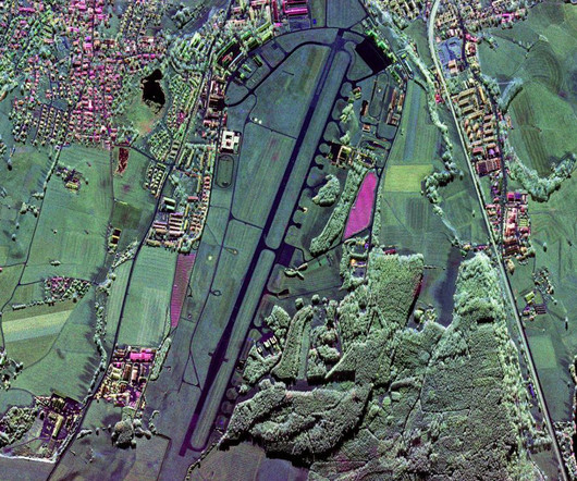
Moreira’s technology also helps to track the effects of climate change. Using radar to map the Earth’s surface Before Moreira and his team developed their InSAR system in 2010, synthetic-aperture radar systems were the state of the art, he says. The InSAR system was used in the DLR’s 2010 TanDEM-X mission.


Let's personalize your content