Satellite Imagery for Everyone
Cars That Think
FEBRUARY 19, 2022
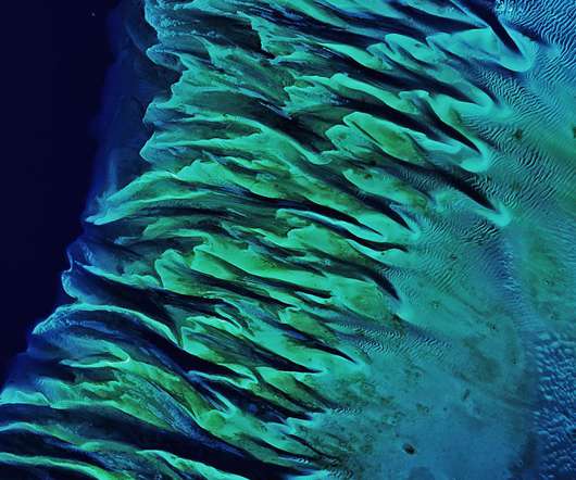
These underwater sand dunes adorn the seafloor between Andros Island and the Exuma islands in the Bahamas. Sarah Parcak of the University of Alabama, for example, uses satellite imagery to locate archaeological sites of interest. Top: CNES/Airbus/Google Earth; Bottom: Maxar Technologies/Google Earth.


Let's personalize your content