
Radar Imaging Could Be the Key to Monitoring Climate Change
Cars That Think
JUNE 30, 2023
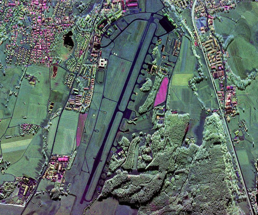
Moreira’s technology also helps to track the effects of climate change. In September 2016 the first global digital elevation map with a 2-meter height accuracy was produced. It consists of an antenna divided in several parts, each of which has its own receiving channel and analog-to-digital converter.


Let's personalize your content